
Severe Weather Hits WBBA Area Earlier Wednesday; More Storms Possible This Evening
- Mike Batchelor
- 6 days ago
- 1 min read

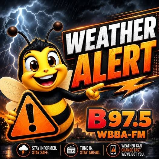
PITTSFIELD, Ill. — Severe weather moved through parts of the WBBA listening area Wednesday, and forecasters are urging residents to stay weather-aware as another round of storms remains possible this evening.
Earlier Wednesday, severe thunderstorm warnings were issued for portions of west-central Illinois, including areas in and around Adams, Brown, and Pike counties. One warning that included Brown and Pike counties was later canceled after the storm weakened below severe limits, but storms earlier in the day still brought the threat of damaging wind gusts and hail as they moved across the region.
The National Weather Service Storm Prediction Center later issued additional watches for parts of Illinois and Missouri through 10 p.m. Wednesday. Pike County, Illinois, Brown County, Adams County, Calhoun County, Greene County, Scott County, Schuyler County, and other west-central Illinois counties were included in a tornado watch. Parts of northeast and eastern Missouri were also placed under severe thunderstorm or tornado watch conditions as the system continued to move across the region.
Forecasters said the main threats through the evening include damaging straight-line winds, large hail, heavy rain, and the possibility of tornadoes. Residents are encouraged to keep phones charged, make sure wireless emergency alerts are turned on, and have more than one way to receive weather warnings overnight. A watch means conditions are favorable for severe weather, while a warning means severe weather is happening or imminent and people should take shelter immediately.
RiverNewsLive will continue monitoring the latest watches and warnings affecting Pike County, Illinois, Pike County, Missouri, and the surrounding WBBA listening area.


Comments